AZORES ARCHIPELAGO
Aeronautical Chart ICAO
1:1 000 000 and 1:500 000
(2350/2351)
Scale 1:1 000 000 and 1:500 000
3rd EDITION / 2023
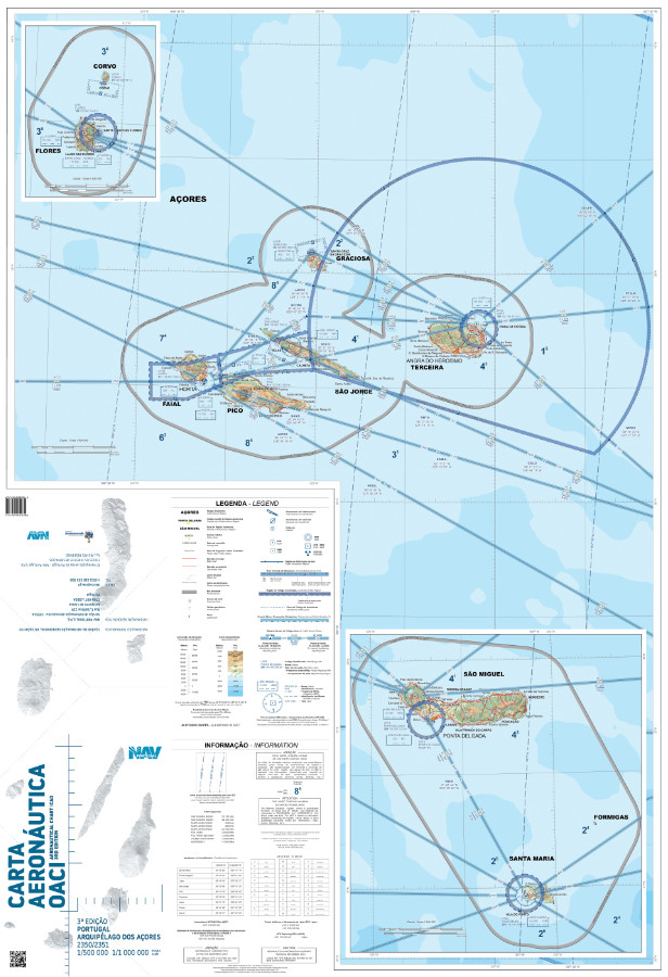
Print format
Folded dimensions 16.5 cm x 24 cm, open 67 cm x 96 cm:
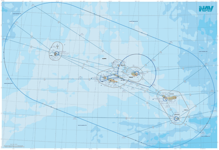
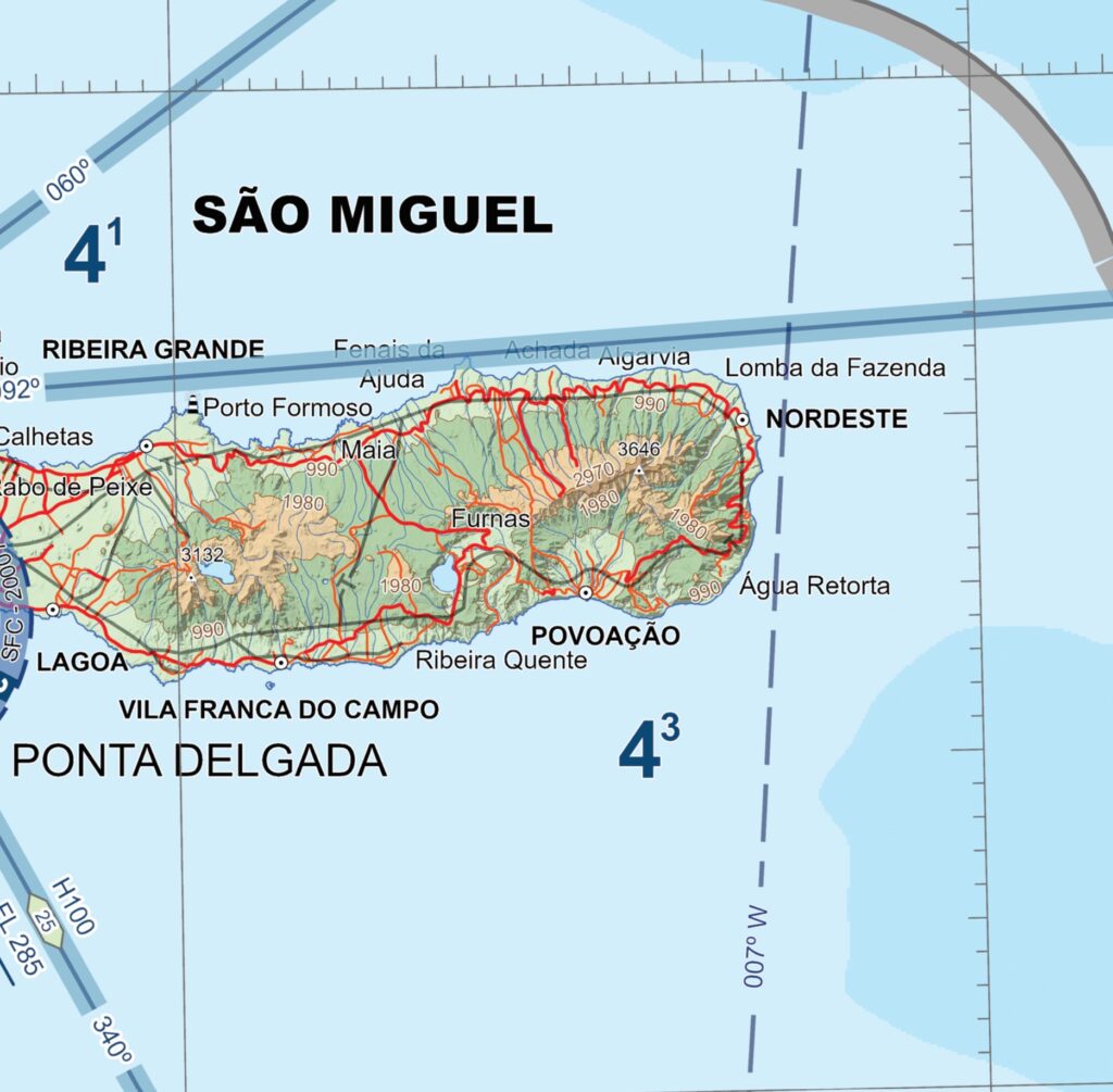
- Coverage between latitudes 41°29’N and 35°48’N and longitudes 033°55’W and 023°07’W
- Scale 1:1 000 000 and 1:500 000
- Lambert Conformal Conic Projection, standard parallels 37° and 39°
- Ellipsoid WGS84
- Horizontal datum, WGS84
- Vertical datum, Mean Sea Level
- Printed on wear and water-resistant film.
For markings and notes use a soft-lead, water-soluble, non-drying dermatographic pencil, that easily erases with a wet tissue or cloth. Do not use pens or ink markers, alcohol or other solvents or rubber erasers.
Digital format
3 files stored in a USB pen drive:
- GeoTIFF – smartphones, tablets, GIS software
- KMZ – Google Earth
- Geospatial PDF file – selectable feature layers